
Chalk Bluff Park, Battle Site and Natural Area
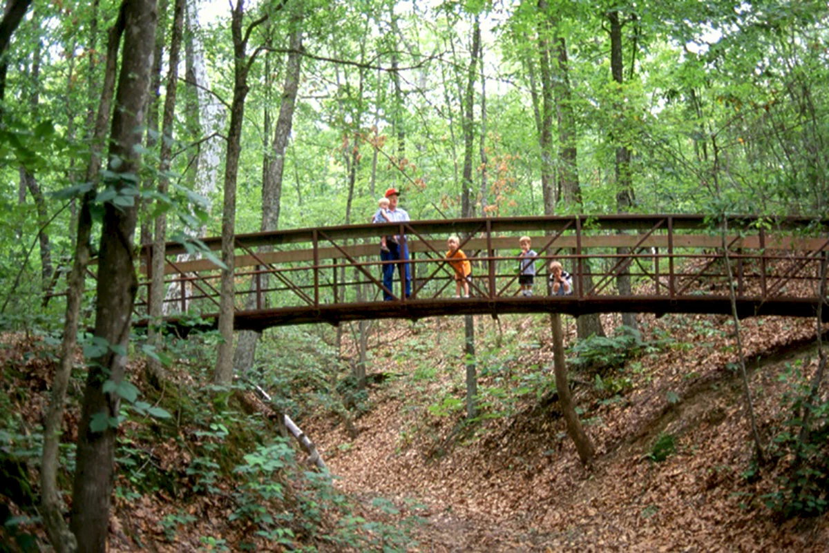
Chalk Bluff is important both geologically and historically. It overlooks the St. Francis River and lies at Arkansas’s northeast point of Crowley’s Ridge. During the 1800s, Crowley’s Ridge served as the best north-south transportation route across the lowlands of the northeast part of the state. An Indian trail and later a military road crossed the St. Francis River at Chalk Bluff. A ferry was established by the Seitz family at the site around 1840. By 1860, a village had grown up around the ferry and the small store that had been opened by the Seitz family. During the Civil War, Chalk Bluff was a strategic location between Confederate Arkansas and Union Missouri and was the site of several skirmishes, including May 1-2, 1863 action as Gen. John S. Marmaduke retreated from an unsuccessful raid into Missouri. Chalk Bluff survived the war and continued to prosper despite heavy property damage. In 1882, however, the St. Louis, Arkansas, and Texas railroad crossed the river two miles south of Chalk Bluff. The new town of St. Francis prospered, and Chalk Bluff gradually died. A highway bridge was built at St. Francis around the beginning of the 20th century, and the Chalk Bluff ferry crossing was abandoned. The Chalk Bluff site, an Arkansas Natural Heritage Area, is listed in the National Register of Historic Places. It also includes a recreation area, with a pavilion and picnic tables, a walking trail and plaques interpreting the Civil War battle at the site.