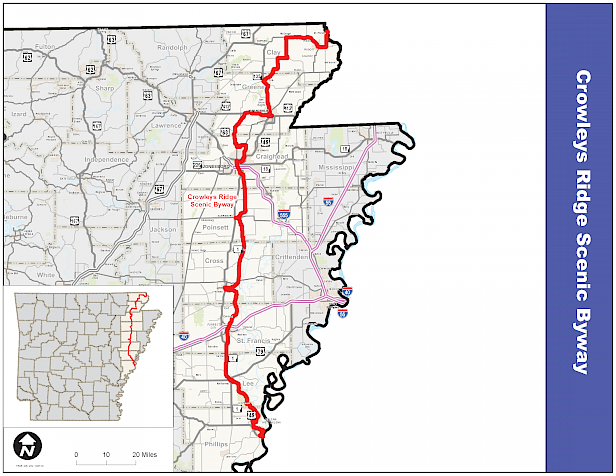

 Detailed Driving Directions:
From St. Francis River to Piggott
- From the St. Francis River and the MO/AR border, take US 62 south through St. Francis to Piggott.
- In Piggott, take US 62 west through the town square.
- Go north to Cherry Street.
- Travel west along Cherry to 12th Street.
- Then travel north on 12th Street to rejoin US 62 west.
From Piggott to Paragould
- Continue on US 62 west to McDougal.
- Then travel south on SH 141 through Boydsville and Knob (Possible side trips: Corning and Rector).
- Continue south on SH 141 to Hooker.
- Then take SH 135 south through Lafe to its intersection with US 49 at Paragould.
- In Paragould, take US 49 to Court Street.
- Turn east on Court Street to Pruett Street.
- Travel south on Pruett Street to Main Street.
- Travel west on Main Street to 7th Street.
- Go south on 7th Street to US 412 west.
- Depart Paragould via US 412 west.
From Paragould to Jonesboro
- From US 412 west, turn south on SH 168 at Walcott.
- Then continue south on SH 141.
- Turn east on CR 766 (KAIT Road), then south on SH 351 to US 49/US 1 (Johnson Avenue) at Jonesboro.
- In Jonesboro, continue straight on Johnson Avenue (SH 91) to Marion Berry Parkway; south to Matthews Avenue, west to U.S. 49B (Main Street), north to Cate Avenue, west to U.S. 49B (Union Avenue), south to S. H. 18, then east to S.H. 1B south.
- Depart Jonesboro via SH 1 south to Craighead Forest Road (C.R. 119), west to Culberhouse Road, south to Lawson Road, east on Lawson Road (crossing S.H. 1) to intersection with S. H. 163.
From Jonesboro to Harrisburg
- Continue south on SH 163 to South Street at Harrisburg.
- In Harrisburg, go south on SH 163 to South Street.
- Go southwest to Center Street.
- Travel west to the Courthouse Square.
- Depart the square via East Jackson Street (SH 14).
- Then east on SH 14 to SH 163 south.
From Harrisburg to Wynne
- Turn south on SH 163 and then continue south to US 64 and US 64B.
- Turn west along US 64 and US 64B.
- Take US 64B west into Wynne. (Take US 64 east for side trip to Parkin).
- In Wynne, take SH 284 (Hamilton Avenue) West into Wynne to Terry Street.
- Go south to Commercial Avenue.
- Travel west to Front Street.
- Go south to Merriman Avenue.
- Travel east to US 1 (Falls Boulevard).
- Go south to Martin Drive (CR 734).
- Depart Wynne via CR 734 east to US 284 south.
From Wynne to Forrest City
- Continue on SH 284 south to Forrest City (Side Trip: Colt).
- In Forrest City, go south on SH 284 to Forrest Street.
- Travel south to E. Broadway.
- Go west to Izard Street.
- Go south to East Front Street.
- Travel west to the intersection with SH 1 South.
From Forrest City to Marianna
- Depart Forrest City via SH 1 South to US 79, then east to Marianna.
- In Marianna, go south on US 79 and SH 1 to Chestnut.
- Travel east to Poplar Street.
- Go south to its intersection with SH 44 south.
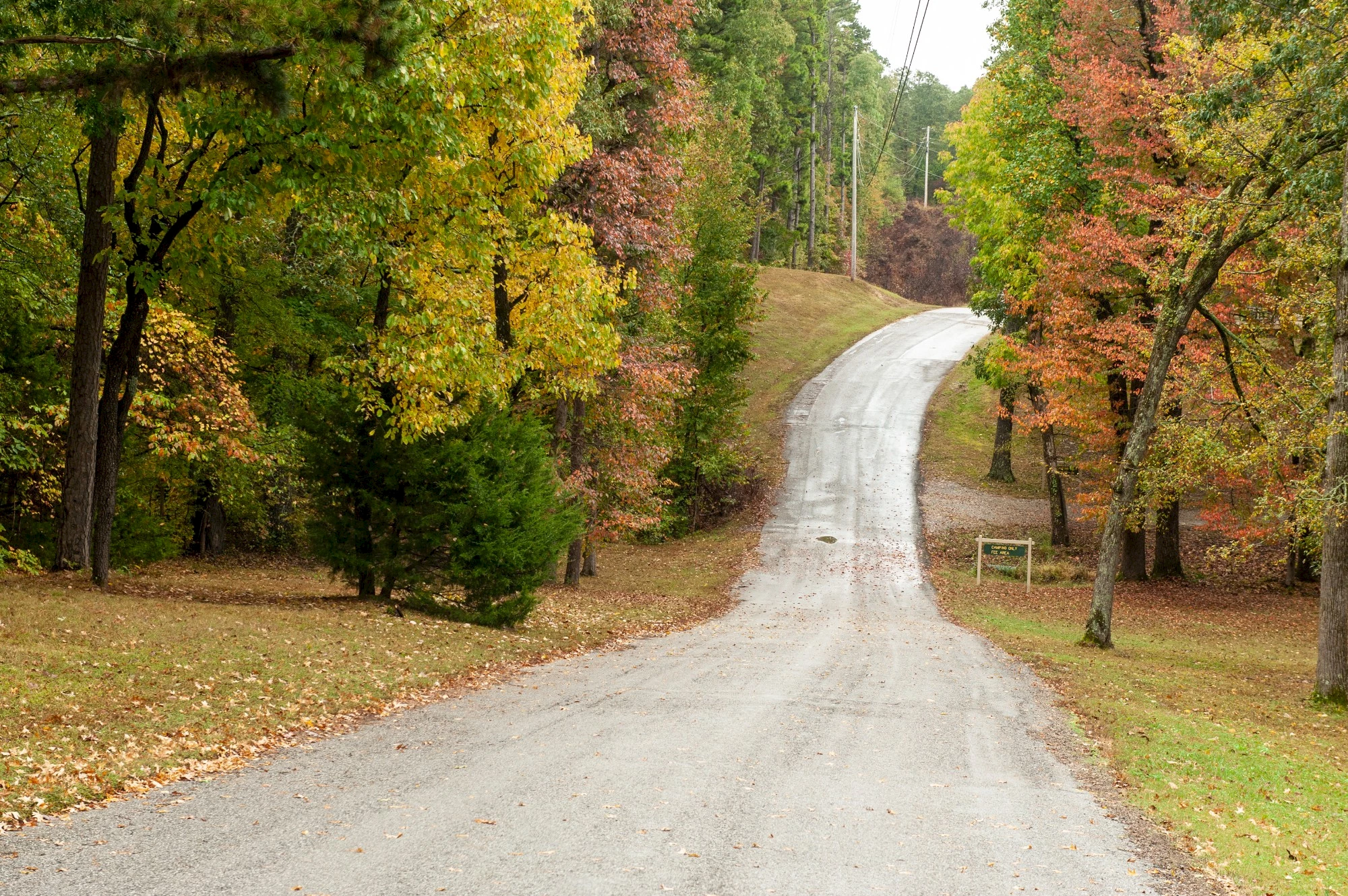
- Depart Marianna via SH 44 and through the St. Francis National Forest
From Marianna to Helena
- Depart the St. Francis National Forest via SH 242 south.
- Then travel east on US 49 B into Helena.
- In Helena, travel east on US 49B (becoming Perry and Porter Streets) to Cherry Street.
- Go south to Missouri Street.
- Travel west to Biscoe (US 49B).
- Go south to the Arkansas-Mississippi Bridge where the byway ends.